File:Relief Map of Belarus.png
From Wicri pool V1.31 Démo.Istex

Size of this preview: 672 × 600 pixels. Other resolutions: 269 × 240 pixels | 1,197 × 1,068 pixels.
Original file (1,197 × 1,068 pixels, file size: 2.39 MB, MIME type: image/png)

![[1]](https://commons.wikimedia.org/w/index.php?title=File:Relief_Map_of_Belarus.png&oldid=137396053)
Summary
| Description |
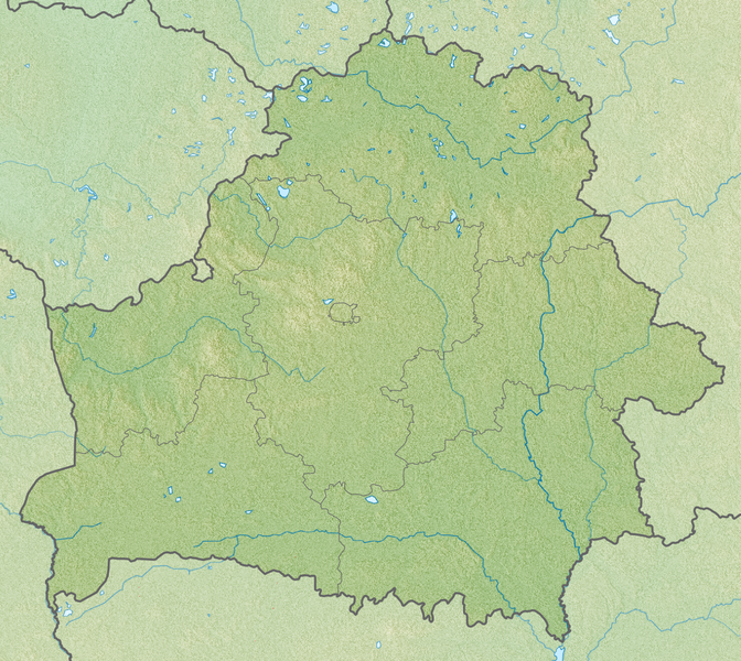
English: Relief map of Belarus
Equirectangular projection, N/S stretching 170 %. Geographic limits of the map:
|
|---|---|
| Date |
26 {{MediaWiki:AugustTemplate:I18n month/form/⧼lang⧽ }} 2010 |
| Source |
|
| Author |
|
| Permission (Reusing this file) |
See below. |
Licensing
cellspacing="8" cellpadding="0" style="width:100%; clear:both; text-align:center; margin:0.5em auto; background-color:#f9f9f9; border:2px solid #e0e0e0; direction: ltr;" class="layouttemplate"
File history
Click on a date/time to view the file as it appeared at that time.
| Date/Time | Thumbnail | Dimensions | User | Comment | |
|---|---|---|---|---|---|
| current | 15:03, 12 December 2020 | | 1,197 × 1,068 (2.39 MB) | Maintenance script (talk | contribs) |
- You cannot overwrite this file.
File usage
There are no pages that link to this file.