File:Guadeloupe department relief location map.jpg
From Wicri pool V1.31 Démo.Istex
Revision as of 15:21, 12 December 2020 by Maintenance script (talk | contribs) (Maintenance script uploaded File:Guadeloupe department relief location map.jpg)
Size of this preview: 684 × 600 pixels. Other resolutions: 274 × 240 pixels | 1,015 × 890 pixels.
Original file (1,015 × 890 pixels, file size: 169 KB, MIME type: image/jpeg)

Summary
| Description |
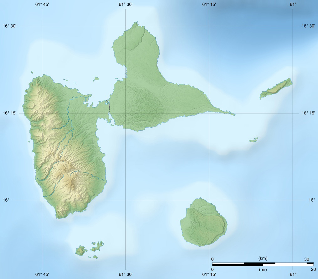
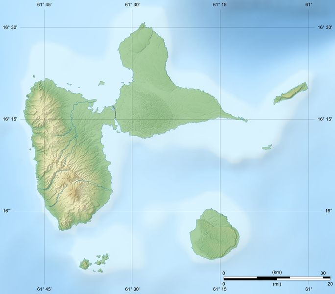
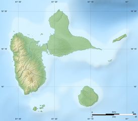
English: Blank physical map of the region and department of Guadeloupe, France, for geo-location purpose, with arrondissements boundaries.
Scales: 1:400,000 (precision: 100 m) for the topography; 1:7,412,000 (precision: 1,853 m) for the bathymetry
Geographic limits of the map:
| ||
|---|---|---|---|
| Date |
{{MediaWiki:SeptemberTemplate:I18n month/form/⧼lang⧽ }} 2008 | ||
| Source |
Own work
| ||
| Author | |||
| Permission (Reusing this file) |
| ||
| Other versions |
|

Licensing:

File history
Click on a date/time to view the file as it appeared at that time.
| Date/Time | Thumbnail | Dimensions | User | Comment | |
|---|---|---|---|---|---|
| current | 15:21, 12 December 2020 | | 1,015 × 890 (169 KB) | Maintenance script (talk | contribs) |
- You cannot overwrite this file.
File usage
The following 2 pages link to this file: