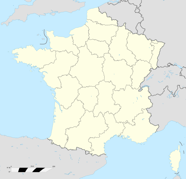
File:France location map-Regions.svg
From Wicri pool V1.31 Démo.Istex

Size of this PNG preview of this SVG file: 624 × 600 pixels. Other resolution: 250 × 240 pixels.
Original file (SVG file, nominally 2,000 × 1,922 pixels, file size: 519 KB)

File history
Click on a date/time to view the file as it appeared at that time.
| Date/Time | Thumbnail | Dimensions | User | Comment | |
|---|---|---|---|---|---|
| current | 18:33, 27 January 2021 | | 2,000 × 1,922 (519 KB) | Jacques Ducloy (talk | contribs) | |
| 18:26, 27 January 2021 |  | 2,000 × 1,922 (521 KB) | Jacques Ducloy (talk | contribs) | ||
| 09:01, 14 December 2020 |  | 2,000 × 1,922 (551 KB) | Jacques Ducloy (talk | contribs) | ||
| 22:24, 13 December 2020 | No thumbnail | 0 × 0 (551 KB) | Jacques Ducloy (talk | contribs) | ||
| 15:13, 12 December 2020 | No thumbnail | 0 × 0 (521 KB) | Maintenance script (talk | contribs) |
- You cannot overwrite this file.
File usage
The following 2 pages link to this file: