File:Morocco relief location map.jpg
From Wicri pool V1.31 Démo.Istex
Revision as of 15:38, 24 October 2011 by Jacques Ducloy (talk | contribs) ({{File imported from Commons|url=http://commons.wikimedia.org/w/index.php?title=File:Morocco_relief_location_map.jpg&oldid=41536491}} == {{int:filedesc}} == {{Location|31|46|30|N|7|04|30|W|scale:5000000}} <br/> {{File information |Description={{en|Blank p)

Size of this preview: 737 × 600 pixels. Other resolutions: 295 × 240 pixels | 1,223 × 995 pixels.
Original file (1,223 × 995 pixels, file size: 234 KB, MIME type: image/jpeg)

Summary
| Description |
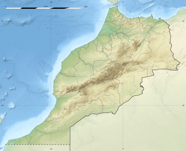
English: Blank physical map of Morocco, for geo-location purposes.
Scale: 1:4,000,000 (precision: 1,000 m)
Geographic limits of the map:
|
|---|---|
| Date |
{{MediaWiki:NovemberTemplate:I18n month/form/⧼lang⧽ }} 2009 |
| Source |
Own work
|
| Author | |
| Permission (Reusing this file) |
User:Sting/Credits |
| Other versions |
|

Licensing:

![[1]](http://commons.wikimedia.org/w/index.php?title=File:Morocco_relief_location_map.jpg&oldid=41536491)
Template:ImageNote Essaouira Template:ImageNoteEnd
File history
Click on a date/time to view the file as it appeared at that time.
| Date/Time | Thumbnail | Dimensions | User | Comment | |
|---|---|---|---|---|---|
| current | 14:15, 12 December 2020 | | 1,223 × 995 (234 KB) | Maintenance script (talk | contribs) |
- You cannot overwrite this file.
File usage
The following 4 pages link to this file: