File:Luxembourg location map.svg
From Wicri pool V1.31 Démo.Istex
Revision as of 22:27, 29 June 2011 by Jacques Ducloy (talk | contribs)

Size of this PNG preview of this SVG file: 433 × 599 pixels. Other resolution: 173 × 240 pixels.
Original file (SVG file, nominally 746 × 1,032 pixels, file size: 108 KB)

| Description |
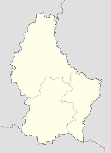
Deutsch: Positionskarte von Luxemburg
Quadratische Plattkarte. Geographische Begrenzung der Karte:
English: Location map of Luxembourg
Equirectangular projection. Geographic limits of the map:
|
|---|---|
| Date |
25 {{MediaWiki:OctoberTemplate:I18n month/form/⧼lang⧽ }} 2008 |
| Source |
own work, using United States National Imagery and Mapping Agency data |
| Author | |
| Permission (Reusing this file) |
See below. |
| Other versions |
|

Licensing:

![[1]](http://commons.wikimedia.org/w/index.php?title=File:Luxembourg_location_map.svg&oldid=40867135)
File history
Click on a date/time to view the file as it appeared at that time.
| Date/Time | Thumbnail | Dimensions | User | Comment | |
|---|---|---|---|---|---|
| current | 13:16, 12 December 2020 | | 746 × 1,032 (108 KB) | Maintenance script (talk | contribs) |
- You cannot overwrite this file.
File usage
The following 2 pages link to this file: