File:AsieOceanieEssai1.png
From Wicri pool V1.31 Démo.Istex
Revision as of 14:23, 12 December 2020 by Maintenance script (talk | contribs) (Maintenance script uploaded File:AsieOceanieEssai1.png)
No higher resolution available.
AsieOceanieEssai1.png (550 × 550 pixels, file size: 114 KB, MIME type: image/png)
| Description |
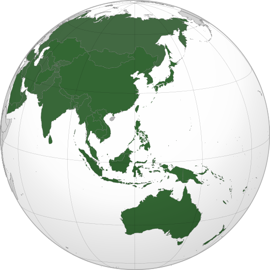
Orthographic map of Asia and Oceania |
|---|---|
| Date | |
| Source |
 Adaptation of a map of Philippines centered at 12° N, 120° E. |
| Author |
Jacques Ducloy - adapatation
|
| Permission (Reusing this file) |
See below. |
cellspacing="8" cellpadding="0" style="width:100%; clear:both; text-align:center; margin:0.5em auto; background-color:#f9f9f9; border:2px solid #e0e0e0; direction: ltr;" class="layouttemplate"
File history
Click on a date/time to view the file as it appeared at that time.
| Date/Time | Thumbnail | Dimensions | User | Comment | |
|---|---|---|---|---|---|
| current | 14:23, 12 December 2020 | | 550 × 550 (114 KB) | Maintenance script (talk | contribs) |
- You cannot overwrite this file.
File usage
The following page links to this file: