File:LocationSouthernAfrica.png
From Wicri pool V1.31 Démo.Istex
Revision as of 17:54, 17 May 2017 by Jacques Ducloy (talk | contribs) ({{File imported from Commons |url=http://commons.wikimedia.org/w/index.php?title=File:LocationSouthernAfrica.png&oldid=28257212 }} == {{int:filedesc}} == Map: Africa – Southern Africa: * dark green: [[:en...)
No higher resolution available.
LocationSouthernAfrica.png (360 × 392 pixels, file size: 14 KB, MIME type: image/png)

![[1]](http://commons.wikimedia.org/w/index.php?title=File:LocationSouthernAfrica.png&oldid=28257212)
Summary
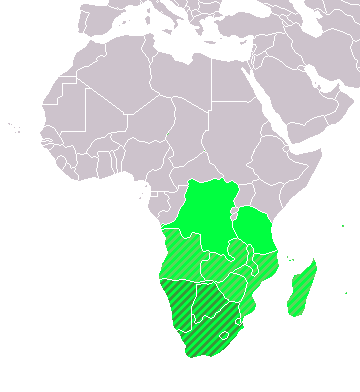
Map: Africa – Southern Africa:
- dark green: UN subregion
- green: geographic, including above
- light green: Southern African Development Community (SADC)
Licensing:
| ⧼Wm-license-pd-author-self-text⧽ In some countries this may not be legally possible; if so: ⧼wm-license-pd-author-self-any-purpose⧽
|
File history
Click on a date/time to view the file as it appeared at that time.
| Date/Time | Thumbnail | Dimensions | User | Comment | |
|---|---|---|---|---|---|
| current | 14:03, 12 December 2020 | | 360 × 392 (14 KB) | Maintenance script (talk | contribs) |
- You cannot overwrite this file.