File:BlankMap-EnglandRegions.png
From Wicri pool V1.31 Démo.Istex
Revision as of 22:28, 17 September 2011 by Jacques Ducloy (talk | contribs) ({{File imported from Commons|url=http://commons.wikimedia.org/w/index.php?title=File:BlankMap-EnglandRegions.png&oldid=43671080}} == {{int:filedesc}} == {{File information |Description={{en text|Blank map of English regions.}} |Source=[[:en:Image:BlankMap)
Size of this preview: 485 × 599 pixels. Other resolutions: 194 × 240 pixels | 2,140 × 2,645 pixels.
Original file (2,140 × 2,645 pixels, file size: 58 KB, MIME type: image/png)

![[1]](http://commons.wikimedia.org/w/index.php?title=File:BlankMap-EnglandRegions.png&oldid=43671080)
Summary
| Description |
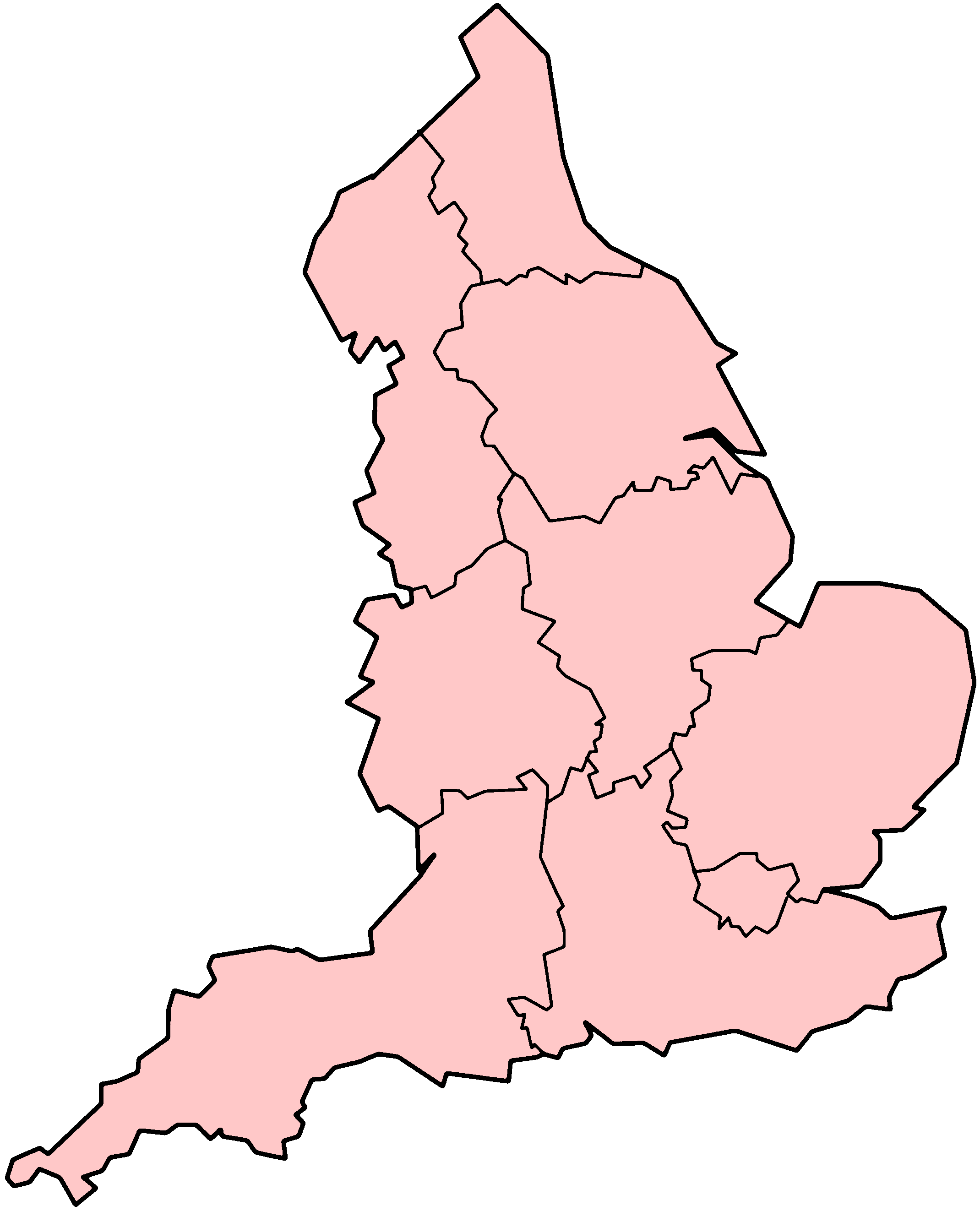
English: Blank map of English regions.
|
|---|---|
| Date | |
| Source | |
| Author |
(original uploader) en:User:Morwen |
| Permission (Reusing this file) |
See below. |
Licensing:
| GNU head | Permission is granted to copy, distribute and/or modify this document under the terms of the GNU Free Documentation License, Version 1.2 or any later version published by the Free Software Foundation; with no Invariant Sections, no Front-Cover Texts, and no Back-Cover Texts. Subject to disclaimers.
|
| Creative Commons license Creative Commons Attribution Creative Commons Share Alike |
This file is licensed under the Creative Commons Attribution ShareAlike 3.0 License. In short: you are free to share and make derivative works of the file under the conditions that you appropriately attribute it, and that you distribute it only under a license identical to this one. Official license Subject to disclaimers. This licensing tag was added to this file as part of the GFDL licensing update. |
File history
Click on a date/time to view the file as it appeared at that time.
| Date/Time | Thumbnail | Dimensions | User | Comment | |
|---|---|---|---|---|---|
| current | 14:23, 12 December 2020 | | 2,140 × 2,645 (58 KB) | Maintenance script (talk | contribs) |
- You cannot overwrite this file.
File usage
There are no pages that link to this file.