Difference between revisions of "File:Morocco relief location map.jpg"
From Wicri pool V1.31 Démo.Istex
(Maintenance script uploaded File:Morocco relief location map.jpg) |
(Maintenance script uploaded File:Morocco relief location map.jpg) |
(No difference)
| |
Latest revision as of 14:15, 12 December 2020

Summary
| Description |
English: Blank physical map of Morocco, for geo-location purposes.
Scale: 1:4,000,000 (precision: 1,000 m)
Geographic limits of the map:
|
|---|---|
| Date |
{{MediaWiki:NovemberTemplate:I18n month/form/⧼lang⧽ }} 2009 |
| Source |
Own work
|
| Author | |
| Permission (Reusing this file) |
User:Sting/Credits |
| Other versions |
|

Licensing:

![[1]](http://commons.wikimedia.org/w/index.php?title=File:Morocco_relief_location_map.jpg&oldid=41536491)
Template:ImageNote Essaouira Template:ImageNoteEnd
File history
Click on a date/time to view the file as it appeared at that time.
| Date/Time | Thumbnail | Dimensions | User | Comment | |
|---|---|---|---|---|---|
| current | 14:15, 12 December 2020 | 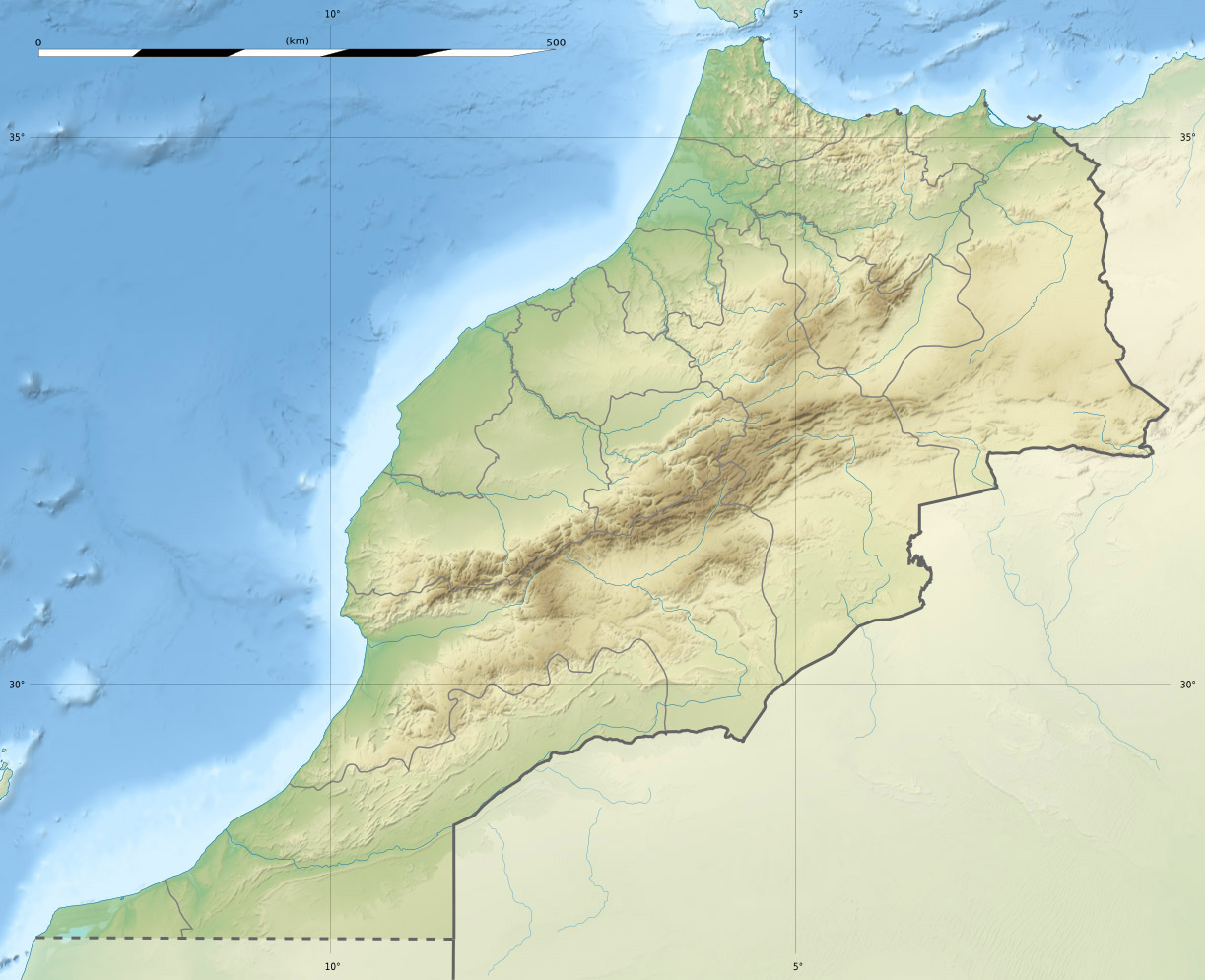 | 1,223 × 995 (234 KB) | Maintenance script (talk | contribs) |
- You cannot overwrite this file.
File usage
The following 4 pages link to this file: