Difference between revisions of "File:Ohiorivermap.png"
From Wicri pool V1.31 Démo.Istex
(Maintenance script uploaded File:Ohiorivermap.png) |
(Maintenance script uploaded File:Ohiorivermap.png) |
(No difference)
| |
Latest revision as of 13:06, 12 December 2020

![[1]](http://commons.wikimedia.org/w/index.php?title=File:Ohiorivermap.png&oldid=4466994)
This is a map of the Ohio River Watershed. I, Karl Musser, created it based on USGS data.
File history
Click on a date/time to view the file as it appeared at that time.
| Date/Time | Thumbnail | Dimensions | User | Comment | |
|---|---|---|---|---|---|
| current | 13:06, 12 December 2020 | 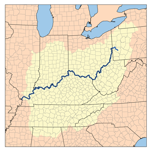 | 500 × 500 (267 KB) | Maintenance script (talk | contribs) |
- You cannot overwrite this file.
File usage
The following page links to this file: