Difference between revisions of "File:Luxembourg relief location map.jpg"
From Wicri pool V1.31 Démo.Istex
({{File imported from Commons |url=http://commons.wikimedia.org/w/index.php?title=File:Luxembourg_relief_location_map.jpg&oldid=40867144}} {{File information |Description={{de|Physische Positionskarte von {{w|Luxemburg|3=de}}}} Quadratische Plattkarte. Ge) |
(Maintenance script uploaded File:Luxembourg relief location map.jpg) |
(No difference)
| |
Revision as of 18:49, 6 July 2017

| Description |
Template:De Quadratische Plattkarte. Geographische Begrenzung der Karte:
English: Physical location map of Luxembourg
Equirectangular projection. Geographic limits of the map:
|
|---|---|
| Date |
10 {{MediaWiki:MarchTemplate:I18n month/form/⧼lang⧽ }} 2010 |
| Source |
Own work, using map data from administrative map by Lencer and SRMT3-data for the relief |
| Author | |
| Permission (Reusing this file) |
cellspacing="8" cellpadding="0" style="width:100%; clear:both; text-align:center; margin:0.5em auto; background-color:#f9f9f9; border:2px solid #e0e0e0; direction: ltr;" class="layouttemplate" |
| Other versions |
|

![[1]](http://commons.wikimedia.org/w/index.php?title=File:Luxembourg_relief_location_map.jpg&oldid=40867144)
File history
Click on a date/time to view the file as it appeared at that time.
| Date/Time | Thumbnail | Dimensions | User | Comment | |
|---|---|---|---|---|---|
| current | 13:19, 12 December 2020 | 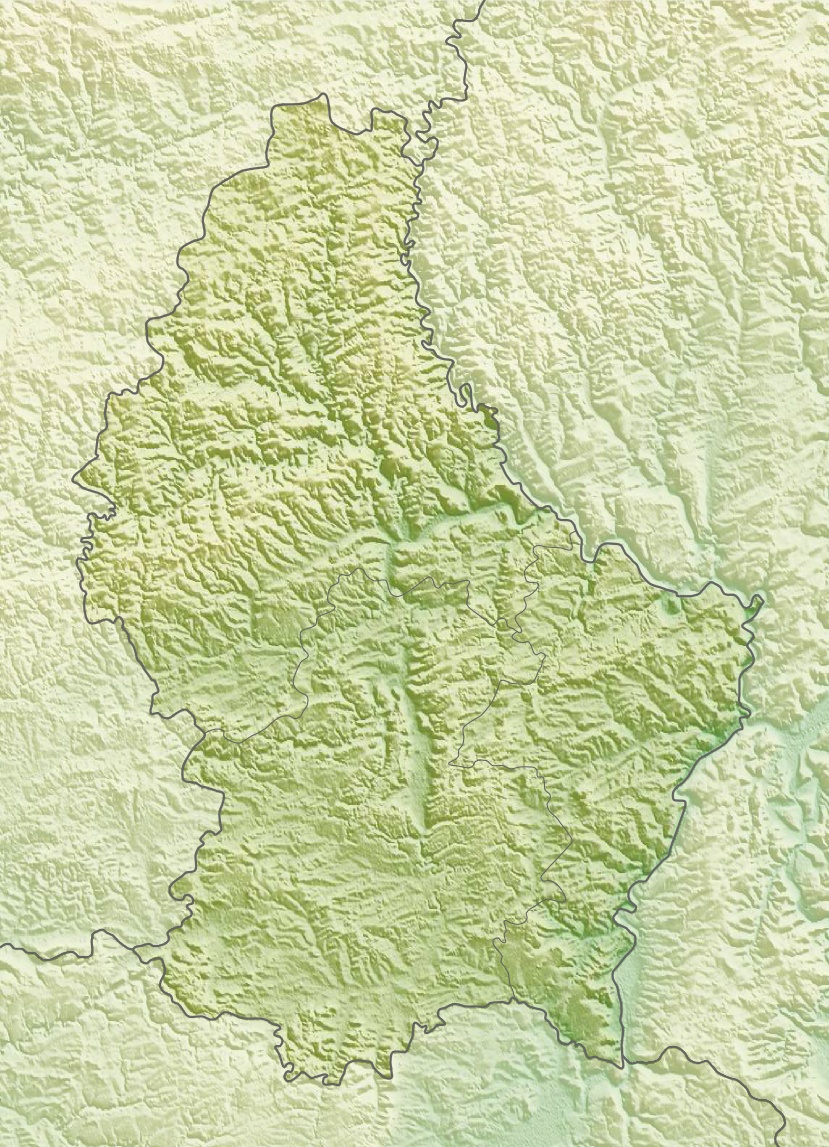 | 829 × 1,147 (481 KB) | Maintenance script (talk | contribs) |
- You cannot overwrite this file.
File usage
The following 2 pages link to this file: