Difference between revisions of "File:France relief location map.jpg"
From Wicri pool V1.31 Démo.Istex
({{File imported from Commons |url=http://commons.wikimedia.org/w/index.php?title=File:France_relief_location_map.jpg&oldid=47997713 }} == {{int:filedesc}} == {{File information |Description={{en text|Blank physical map of France for geo...) |
|
(No difference)
| |
Revision as of 19:03, 18 June 2017

Summary
| Description |
English: Blank physical map of France for geo-location purpose.
Scale : 1:14,816,000 (accuracy : about 3,7 km) for the bathymetry français : Carte physique vierge de la France destinée à la géolocalisation.
Échelle : 1:14 816 000 (précision : environ 3,7 km) pour la bathymétrie Equirectangular projection, WGS84 datum
Geographic limits of the map :
| ||
|---|---|---|---|
| Date |
{{MediaWiki:JulyTemplate:I18n month/form/⧼lang⧽ }} 2008 | ||
| Source |
Own work
| ||
| Author | |||
| Permission (Reusing this file) |
| ||
| Other versions |
Template:DerivativeVersions Template:Location
|


Template:Overlay Template:Atelier graphique carte
Licensing:

![[1]](http://commons.wikimedia.org/w/index.php?title=File:France_relief_location_map.jpg&oldid=47997713)
Template:ImageNote Template:Text fr Template:Zh Template:ImageNoteEnd
File history
Click on a date/time to view the file as it appeared at that time.
| Date/Time | Thumbnail | Dimensions | User | Comment | |
|---|---|---|---|---|---|
| current | 14:03, 12 December 2020 | 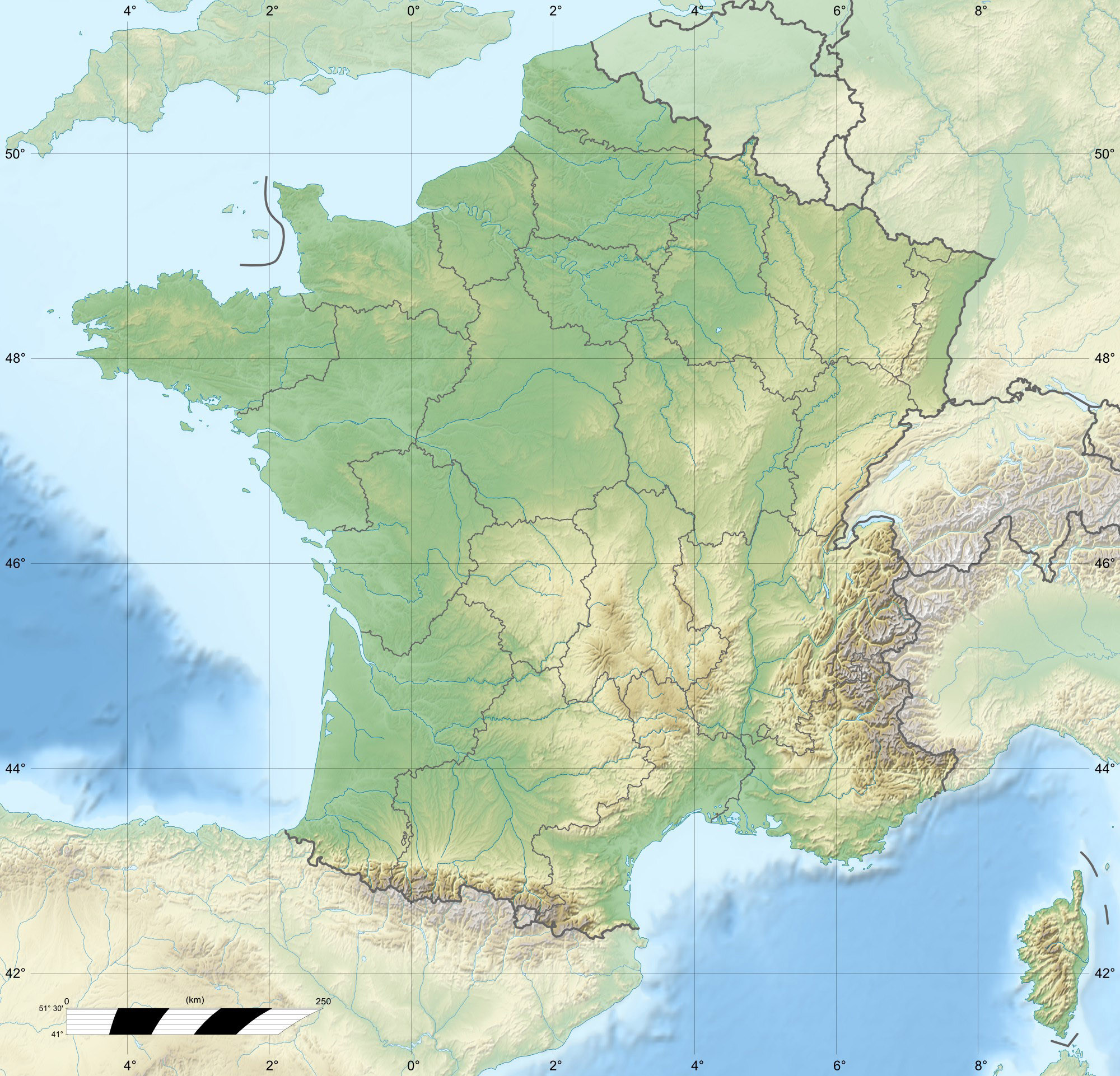 | 2,000 × 1,922 (814 KB) | Maintenance script (talk | contribs) |
- You cannot overwrite this file.
File usage
The following 3 pages link to this file: