File:Päijät-Hämeen.maakunta.suomi.2008.svg.png
From Wicri pool V1.31 Démo.Istex
No higher resolution available.
Päijät-Hämeen.maakunta.suomi.2008.svg.png (345 × 600 pixels, file size: 83 KB, MIME type: image/png)

![[1]](http://commons.wikimedia.org/w/index.php?title=File:P%C3%A4ij%C3%A4t-H%C3%A4meen.maakunta.suomi.2008.svg&oldid=23533378)
| Description |
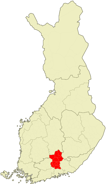
Location of the Finnish region of Päijänne Tavastia (Päijät-Häme) |
|---|---|
| Date |
19 {{MediaWiki:AprilTemplate:I18n month/form/⧼lang⧽ }} 2008 |
| Source |
SVG map of Finland is created by user Care. Original bitmap map is created by User:Care |
| Author | |
| Permission (Reusing this file) |
See below. |
| Other versions | Original SVG is/was here: w:fi:Kuva:Suomi.karttapohja.svg. Bitmap is/was here: w:fi:Kuva:Finnish municipalities.png |
| ⧼Wm-license-pd-author-self-text⧽ In some countries this may not be legally possible; if so: ⧼wm-license-pd-author-self-any-purpose⧽
|
File history
Click on a date/time to view the file as it appeared at that time.
| Date/Time | Thumbnail | Dimensions | User | Comment | |
|---|---|---|---|---|---|
| current | 15:13, 12 December 2020 | | 345 × 600 (83 KB) | Maintenance script (talk | contribs) |
- You cannot overwrite this file.
File usage
The following page links to this file:
- File:File-Päijät-Hämeen.maakunta.suomi.2008.svg.png (file redirect)