File:MapGlaceBay.png
From Wicri pool V1.31 Démo.Istex
No higher resolution available.
MapGlaceBay.png (621 × 507 pixels, file size: 147 KB, MIME type: image/png)
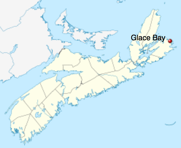
Carte extraite de Wikipédia par capture d'écran d'une image SVG dans la page :
L'image vient en fait de Commons :
File history
Click on a date/time to view the file as it appeared at that time.
| Date/Time | Thumbnail | Dimensions | User | Comment | |
|---|---|---|---|---|---|
| current | 13:16, 12 December 2020 | | 621 × 507 (147 KB) | Maintenance script (talk | contribs) |
- You cannot overwrite this file.