File:Europe relief laea location map.jpg
From Wicri pool V1.31 Démo.Istex
Size of this preview: 701 × 599 pixels. Other resolutions: 281 × 240 pixels | 1,580 × 1,351 pixels.
Original file (1,580 × 1,351 pixels, file size: 1.1 MB, MIME type: image/jpeg)

![[1]](http://commons.wikimedia.org/w/index.php?title=File:Europe_relief_laea_location_map.jpg&oldid=76301524)
| Description |
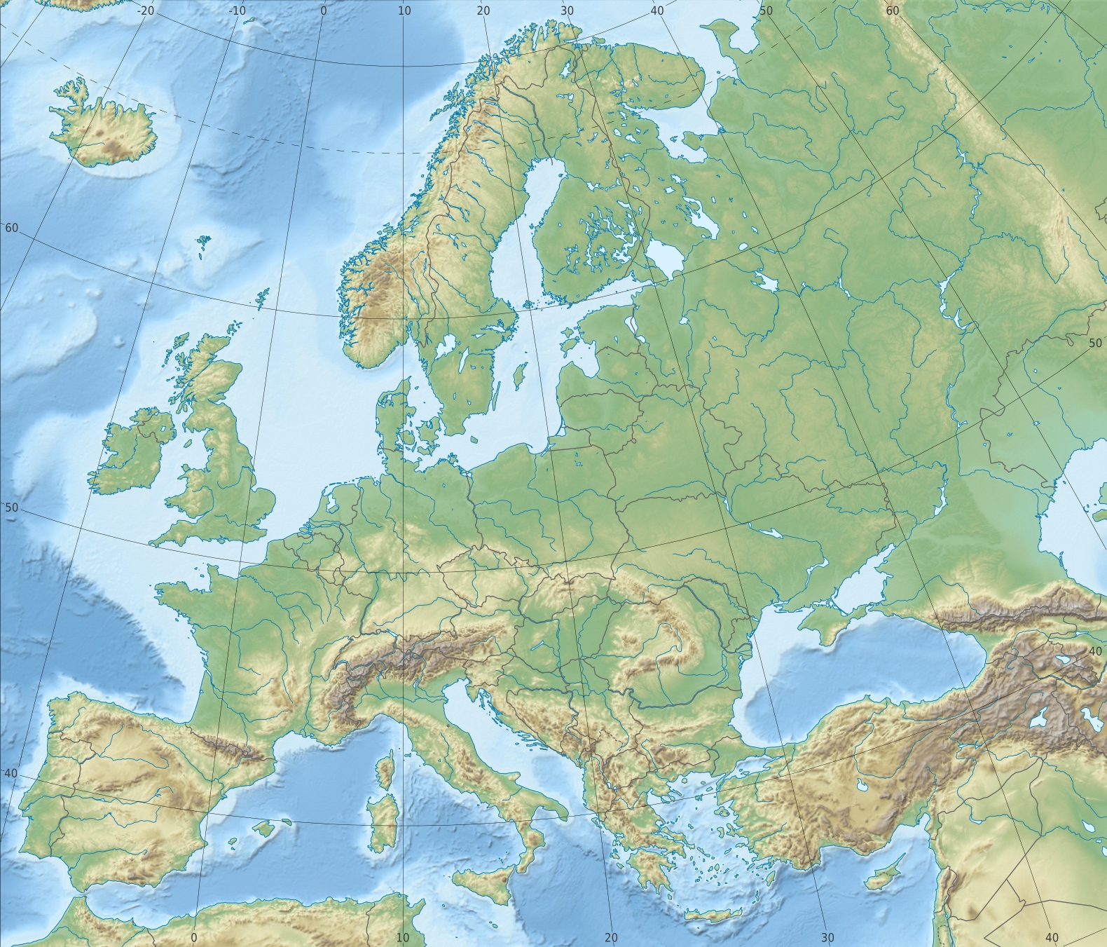
English: Physical location map Europe; Lambert azimuthal equal-area projection
|
|---|---|
| Date |
{{MediaWiki:MarchTemplate:I18n month/form/⧼lang⧽ }} 2010 |
| Source |
Own work
|
| Author | |
| Permission (Reusing this file) |
See below. |
| Other versions | Template:Other versions/Europe laea location map |
Licensing
File history
Click on a date/time to view the file as it appeared at that time.
| Date/Time | Thumbnail | Dimensions | User | Comment | |
|---|---|---|---|---|---|
| current | 15:22, 12 December 2020 | | 1,580 × 1,351 (1.1 MB) | Maintenance script (talk | contribs) |
- You cannot overwrite this file.
File usage
There are no pages that link to this file.