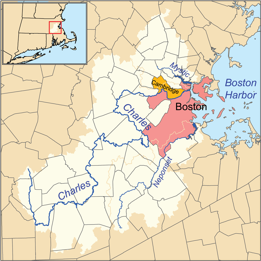
File:Charlesrivermap.png
From Wicri pool V1.31 Démo.Istex
Size of this preview: 600 × 600 pixels. Other resolutions: 240 × 240 pixels | 1,000 × 1,000 pixels.
Original file (1,000 × 1,000 pixels, file size: 587 KB, MIME type: image/png)

![[1]](http://commons.wikimedia.org/w/index.php?title=File:Charlesrivermap.png&oldid=41012279)
Summary
| Description | |
|---|---|
| Date |
4 {{MediaWiki:MarchTemplate:I18n month/form/⧼lang⧽ }} 2010 |
| Source |
Own work. Township data source: Census Bureau [2]. Hydrology data source: National Hydrography Dataset [3]. |
| Author | |
| Permission (Reusing this file) |
See below. |
Licensing:
File history
Click on a date/time to view the file as it appeared at that time.
| Date/Time | Thumbnail | Dimensions | User | Comment | |
|---|---|---|---|---|---|
| current | 15:12, 12 December 2020 | | 1,000 × 1,000 (587 KB) | Maintenance script (talk | contribs) |
- You cannot overwrite this file.
File usage
There are no pages that link to this file.