File:Belgium relief location map.jpg
From Wicri pool V1.31 Démo.Istex

Size of this preview: 689 × 599 pixels. Other resolutions: 276 × 240 pixels | 1,136 × 988 pixels.
Original file (1,136 × 988 pixels, file size: 255 KB, MIME type: image/jpeg)

Summary
| Description |
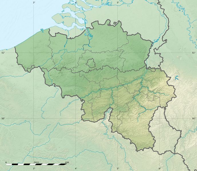
English: Physical location map of Belgium, for geo-location purposes.
Scales:
Equirectangular projection, WGS84 datum
Geographic limits of the map:
|
|---|---|
| Date |
{{MediaWiki:SeptemberTemplate:I18n month/form/⧼lang⧽ }} 2010 |
| Source |
Topographic background map: Own work
|
| Author |
Eric Gaba (Sting - fr:Sting) and NordNordWest |
| Permission (Reusing this file) |
User:Sting/Credits |
| Other versions |
|

Template:Atelier graphique carte
Template:Kartenwerkstatt
Licensing:

![[1]](http://commons.wikimedia.org/w/index.php?title=File:Belgium_relief_location_map.jpg&oldid=61931371)
File history
Click on a date/time to view the file as it appeared at that time.
| Date/Time | Thumbnail | Dimensions | User | Comment | |
|---|---|---|---|---|---|
| current | 15:02, 12 December 2020 | | 1,136 × 988 (255 KB) | Maintenance script (talk | contribs) |
- You cannot overwrite this file.
File usage
The following 3 pages link to this file: