File:Ireland location map.svg
From Wicri Europe (en)

Size of this PNG preview of this SVG file: 481 × 599 pixels. Other resolution: 192 × 240 pixels.
Original file (SVG file, nominally 1,450 × 1,807 pixels, file size: 597 KB)

Summary
| Description |
Template:De Quadratische Plattkarte, N-S-Streckung 170 %. Geographische Begrenzung der Karte:
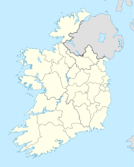
English: Location map of Ireland
Equirectangular projection, N/S stretching 170 %. Geographic limits of the map:
|
|---|---|
| Date |
01-07-2008 |
| Source |
own work, using United States National Imagery and Mapping Agency data |
| Author | |
| Permission (Reusing this file) |
See below. |
| Other versions |
DerivativeVersions
|

Licensing

File history
Click on a date/time to view the file as it appeared at that time.
| Date/Time | Thumbnail | Dimensions | User | Comment | |
|---|---|---|---|---|---|
| current | 15:21, 12 December 2020 | | 1,450 × 1,807 (597 KB) |
File usage
The following page links to this file: