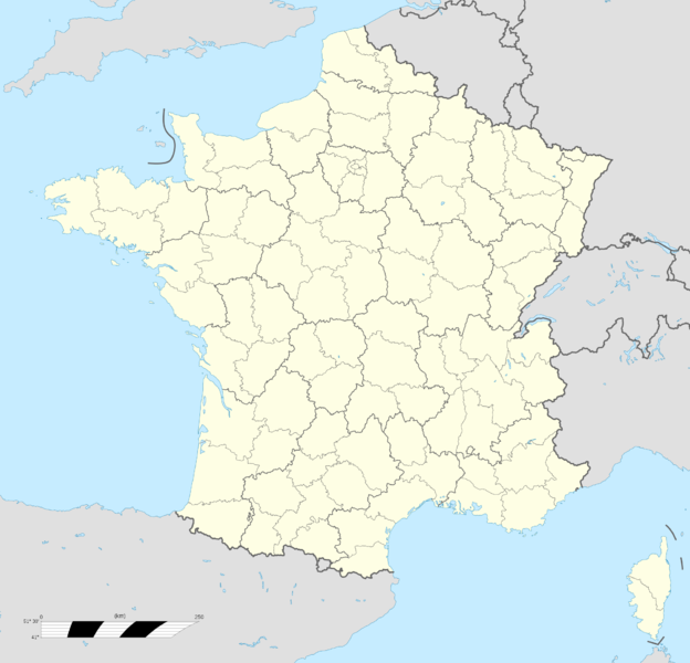
Fichier:France location map-Regions and departements.png
De Wicri Chanson de Roland

Taille de cet aperçu : 624 × 600 pixels. Autres résolutions : 250 × 240 pixels | 2 000 × 1 922 pixels.
Fichier d’origine (2 000 × 1 922 pixels, taille du fichier : 669 Kio, type MIME : image/png)
Ce fichier provient de un dépôt partagé. Il peut être utilisé par d'autres projets. Sa description sur sa page de description est affichée ci-dessous.


Description
| Description |
English: Blank administrative map of France for geo-location purpose, with regions and departements distinguished.
Approximate scale : 1:3,000,000 Template:Fr
Equirectangular projection, WGS84 datum
Geographic limits of the map :
| ||
|---|---|---|---|
| Date |
{{MediaWiki:JulyTemplate:I18n month/form/⧼lang⧽ }} 2008 | ||
| Source |
Own work
| ||
| Author | |||
| Permission (Reusing this file) |
| ||
| Other versions |
|


Template:Atelier graphique carte
Licence

![[1]](http://commons.wikimedia.org/w/index.php?title=File:France_location_map-Regions_and_departements.svg&oldid=46320026)
.svg&action=edit&redlink=1)
Historique du fichier
Cliquer sur une date et heure pour voir le fichier tel qu'il était à ce moment-là.
| Date et heure | Vignette | Dimensions | Utilisateur | Commentaire | |
|---|---|---|---|---|---|
| actuel | 12 décembre 2020 à 15:13 | | 2 000 × 1 922 (669 Kio) |
Utilisation du fichier
Les 4 pages suivantes utilisent ce fichier :