Fichier:Morocco location map.svg
De Wicri Chanson de Roland

Taille de cet aperçu PNG de ce fichier SVG : 737 × 600 pixels. Autre résolution : 295 × 240 pixels.
Fichier d’origine (Fichier SVG, résolution de 1 223 × 995 pixels, taille : 237 Kio)
Ce fichier provient de un dépôt partagé. Il peut être utilisé par d'autres projets. Sa description sur sa page de description est affichée ci-dessous.


Description
| Description |
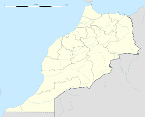
English: Blank administrative map of Morocco, for geo-location purposes.
Scale: 1:4,000,000 (precision: 1,000 m)
Geographic limits of the map:
|
|---|---|
| Date |
{{MediaWiki:NovemberTemplate:I18n month/form/⧼lang⧽ }} 2009 |
| Source |
Own work
|
| Author | |
| Permission (Reusing this file) |
User:Sting/Credits |
| Other versions |
|

Licence

![[1]](http://commons.wikimedia.org/w/index.php?title=File:Morocco_location_map.svg&oldid=59371862)
Historique du fichier
Cliquer sur une date et heure pour voir le fichier tel qu'il était à ce moment-là.
| Date et heure | Vignette | Dimensions | Utilisateur | Commentaire | |
|---|---|---|---|---|---|
| actuel | 12 décembre 2020 à 15:13 | | 1 223 × 995 (237 Kio) |
Utilisation du fichier
Les 2 pages suivantes utilisent ce fichier :