Utilisateur:Jacques Ducloy/Tests géographiques : Différence entre versions
De Wicri Base 1.28
imported>Jacques Ducloy |
imported>Jacques Ducloy |
||
| (Une révision intermédiaire par le même utilisateur non affichée) | |||
| Ligne 1 : | Ligne 1 : | ||
| + | a | ||
| + | |||
| + | {{Coord|48.691825|6.188241667|type:landmark_region:FR-54|format=dms|display=title}} | ||
| + | |||
| + | b | ||
| + | |||
{{Explor plateforme ArcheoLaboV2/Carte test|taille=400}} | {{Explor plateforme ArcheoLaboV2/Carte test|taille=400}} | ||
| − | |||
{{Infobox lac, début | {{Infobox lac, début | ||
Version actuelle datée du 18 juin 2017 à 18:35
a
b
| Étang de Lindre | ||
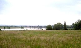 Presqu’île de Tarquimpol vue de la berge de Lindre-Basse | ||
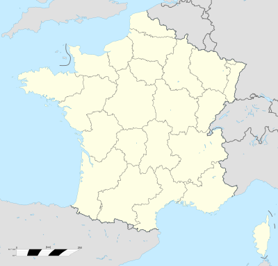
| Localisation | ||
|---|---|---|
|
| ||
| Latitude Longitude |
||
| Pays | ||
| Province | Lorraine | |
| Département | Moselle | |
| A proximité | Dieuze (3 km) Sarrebourg (26 km) Nancy (46 km) Metz (56 km) | |
| Hydrographie | ||
| Superficie | 6,20 km2 | |
| profondeur | 6 m | |
| Étang de Lindre | ||
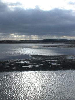 L'étang de Lindre à contre-jour | ||
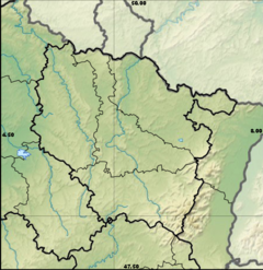
| Localisation | ||
|---|---|---|
|
| ||
| Latitude Longitude |
||
| Pays | ||
| Province | Lorraine | |
| A proximité | Dieuze (3 km) Sarrebourg (26 km) Nancy (46 km) Metz (56 km) | |
| Hydrographie | ||
| Superficie | 6,20 km2 | |
| profondeur | 6 m | |
| Lac des Perches | ||
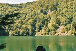 Le lac des Perches | ||
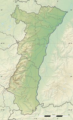
| Localisation | ||
|---|---|---|
|
| ||
| Latitude Longitude |
||
| Pays | ||
| Province | Alsace | |
A
B A
Test
B
